









 This time the wait is truly over and winter is ready to take center stage. On Monday, December 8, 2014, real frost and low-altitude snow arrive: cold air sweeping in from the Arctic will bring a sharp temperature drop of 8-10° across all of northern Italy, pushing the snow line down to hill altitudes.
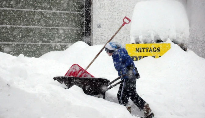
The first snowfalls will be recorded starting on Monday evening, or at the latest overnight between Monday and Tuesday, and will continue until Wednesday with snowfalls across the entire Alpine arc and the Apennines. Once the weather front passes, northern Italy will be gripped by freezing temperatures, with the first nighttime frosts even in the plains and temperatures well below freezing in Alpine resorts.
While up to now the snow line had never dropped below 1500 meters, starting Monday snow will once again blanket low-altitude ski areas as well, with snowfalls at 700 meters and possible flurries down to 500 m.
In the Apennines too, the snow line will drop to 1000 meters, bringing snow to the ski resorts of Tuscany, Emilia, and Abruzzo.
On Thursday the snowfalls will taper off in central Italy as well, while temperatures will settle around seasonal averages—meaning near-freezing temperatures even in the northern Italian plains and freezing conditions across the Alps and Apennines.
The decisive turning point for the ski season
It almost seems too good to be true, but this incoming weather system is the perfect storm for Alpine ski resorts: snow down to low altitudes followed by freezing cold—ideal for building a base layer and producing artificial snow. A magnificent combination that, if confirmed, will completely transform snow conditions in the Alpine resorts and pave the way for the full launch of the 2014/15 ski season.
In the last few hours, some snow has already fallen above 1400/1500 meters, and several ski resorts in Alto Adige have already started firing up their snow cannons to produce the first artificial snow.
Keep your eyes on the Snow Forecast and the live webcams—let winter begin!



No comments yet