









The first snowflakes have already started to fall on the Alps, but we will have to wait until Wednesday to see the full effect of the snowy disturbance that is brushing Italy’s borders in these hours.
After almost a month’s absence, snowfall is about to return to the Alps. The disturbance will first affect the eastern sector, especially the Dolomites, before moving west.
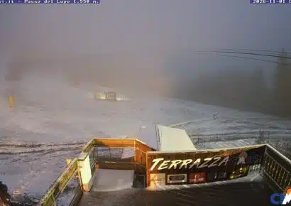
The first snowflakes were seen today on the ski slopes of Trentino Alto Adige, where skiers found a foggy and damp day waiting for them.
It will be like this for the whole of next week: the disturbance will bring a slight drop in temperatures and snow even at medium-low altitudes.

Plan de Corones slopes
Once again, the western side will be the most affected, in particular Piedmont, where about 50 cm of fresh snow is expected on Sestriere and other Piedmontese resorts.
The eastern sector, it seems, will have to make do – once again – with a few dozen centimetres.
The forecasts for after the snowfall also remain uncertain. The ski areas that until now have had to rely heavily on snowmaking systems are hoping for a drop in temperature that will allow them to close the season on the scheduled dates without having to close early.
As always, we invite you to take a look at the webcams and, of course, at the snow report!


No comments yet