









Yet another weather system is on its way, bringing more snow to our already heavily loaded Alps. From this evening until Sunday morning, precipitation will be the order of the day.
Snowfalls, heavy at times, will affect the Alps above 800-1,200, but also down to around 400-500 m by the end of the event.
From Thursday evening the precipitation will be intense, and it is estimated that another metre of snow could fall above 1,500 m, as if there weren’t enough already!
Here is the snow depth ranking for our Alps:
Above 2,000 metres:
1.Alagna Val Sesia 480cm of snow Piedmont
1.Arabba Marmolada 480cm Veneto
3.Ghiacciaio Presena, 440cm Lombardy
4.Colere 410cm Lombardy
Between 1,500 and 2,000 m
1.Sella Nevea 450cm Friuli
2.Abetone 410cm Tuscany
3.San Giacomo di R. 400cm Piedmont
4.Piancavallo 370cm Friuli
Exceptional figures approaching 5 metres of snow, which in all likelihood will be exceeded in the coming days.
At this point one can’t help wondering: how much snow will there be at the end of March??
Only time will tell, but in the meantime let’s stick our necks out……6-7 metres, why not?
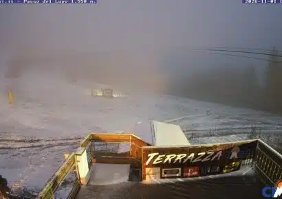
Meanwhile, let’s enjoy these snow-white webcams made in Italy:

A splendid day in Ceresole Reale(To)

Pragelato buried in snow

Arpy(Ao),1650m.

The cross-country trails of Armentarola, Alta Badia


No comments yet