









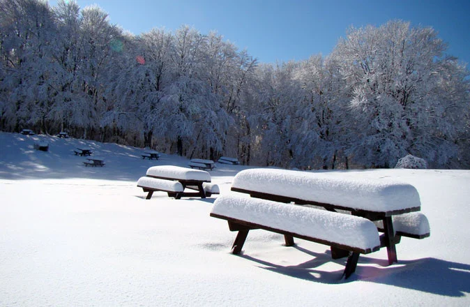
 This 2012/13 winter is shaping up to be a banner season: snow is plentiful, and regular weather systems are supplying the reserves needed to keep the ski slopes in prime condition.
The latest in the series is the snowfall that hit the Alps and Apennines on February 1-2-3, sweeping across the entire Alpine arc and bringing fresh snow from west to east.
After rain in the opening hours, when snow fell only above 1,500 meters, the snow line dropped rapidly to reach hilly elevations across much of the north. Once again, the heaviest accumulations were recorded in Trentino Alto Adige, Veneto, and Friuli, particularly along the northeastern border areas where heavy snowfall also caused some traffic disruptions.
Snow fell heavily above all at high altitude, partly due to mild temperatures during the first phase of the storm, before dropping temperatures brought back freezing cold and snow appeared lower down as well, albeit with lighter accumulations. In Trentino Alto Adige, 10 to 15 cm of fresh snow fell in the Dolomites, whereas the mountains of Aosta and Piedmont saw modest snowfall, not exceeding 5 cm in many resorts.
In the Apennines, meanwhile, snowfall continues after several days of heavy rain that hit the ski resorts hard and washed away a lot of snow. However, the current drop in temperatures and the lingering weather system are bringing fresh snow, with heavy snowfall down to hilly elevations across the mountains of Tuscany and Abruzzo.

Snowfall in Roccaraso
Freezing cold and more snow
After the storm comes the deep freeze. Arctic air is arriving from the north, set to bring polar winter conditions to our ski resorts and all the way into the cities. Temperatures will drop at least 5 degrees below the seasonal average, with frosts making themselves felt early next week (February 5-6). In the mountains, temperatures could plunge past the -20°C mark in several resorts such as Livigno and Asiago, while frost will return to the plains.
Not just freezing cold, but also scattered snow showers in the mountains, in an unsettled yet frigid pattern that will persist until mid-month.

-

- Snowfall in Roccaraso





No comments yet