









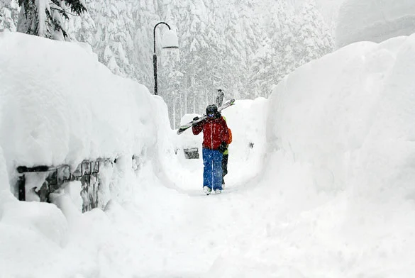
 Recent winters have accustomed us to spells of above-average temperatures and thermal inversions, and this winter is no exception…
Over the past few weeks, alongside record holiday crowds on the slopes, above-average temperatures have also been recorded, causing rapid snowmelt and noticeably thinning out the snow reserves of ski areas.
Fortunately, this mild spell is about to end and make way for our beloved winter. Over the coming days, weather forecasts point to a drop in temperatures driven by Arctic air moving into Europe and Italy, while at the same time a weather system will reach the Alps, bringing snow back down to hilly elevations with possible snowfall even in the plains of the northwest.
The first snowflakes will begin falling in the early hours of Sunday, January 13, hitting the northwestern Alps first before spreading to the northeast and moving down toward central Italy. While accumulations are not expected to be huge, snowfall will be widespread across the entire Alps, reaching nearly down to the plains in the northwest and settling around 400 meters in the northeast.
Snow is also expected in the Apennines, with the snow line near 900 meters across the Tuscan-Emilian resorts and around 1,300-1,400 meters in Abruzzo.
Snow returns, the ski season continues
Starting in mid-January, freezing cold and snow are forecast to return with a very low snow line and possible dustings of snow even in the major cities of northern Italy. Ski resorts will be able to count on fresh snow that will provide a vital boost for the rest of the ski season.



No comments yet