









That’s right: after the very heavy snowfalls that hit northern Italy, reaching the plains several times, the sun is back and with it the cold. It won’t last long, though: more snow is expected tomorrow evening down to hill level, and in fact scattered clouds are already moving in over the western Alps.

First clouds over Sestriere.
The snow accumulation has been truly exceptional: snowfalls like these in November and early December had not been seen (almost) since the ’50s and ’60s. The snowpack exceeds one metre even in mid-to-low-altitude resorts (at around 1,000-1,200 metres), and 150 centimetres of snow are already reached at 1,500 m, an almost record-breaking accumulation.
From today, however, the sun is back and with it the cold and the frosts: in the Po Valley minimum temperatures reached -5°, while on the valley floors they touched or sometimes even dropped below -7°.
Much lower minimums hit the Alps: -22° in St. Moritz (1,800 m) with 1 metre of snow, around -18° in Livigno with 130 cm of snow, and elsewhere temperatures between -5° and -15°. Today the freezing level will only reach 1,200 m.
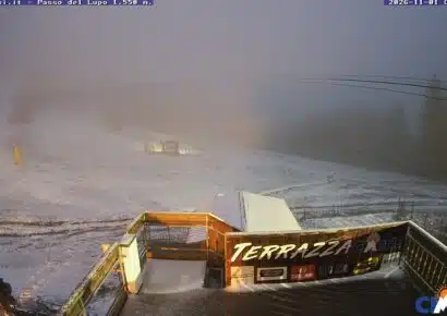
Here are a few webcams:

Beautiful Livigno with 130 cm of snow and -10° in broad daylight!

A splendid day in La Thuile, in the Aosta Valley

The sun is shining at
As for the projections for the winter, they have not changed. The models are still forecasting snowfall down to the plains again from mid-month onwards, alternating with stable but very cold periods.


No comments yet