









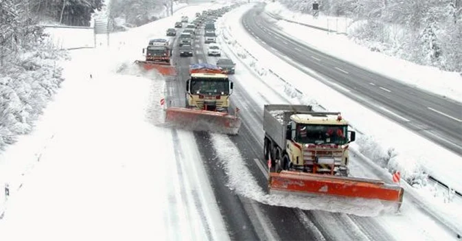

Up to now we have witnessed a largely mild winter, with above-average temperatures and snowfalls all too often confined to medium-high altitudes.
A decidedly anomalous situation that has not yet seen freezing air masses push into the peninsula, with temperatures consistently above freezing in the cities and often in the mountains as well.
Starting Wednesday, the situation is set to change significantly with a North Atlantic trough poised to turn things around.
While temperatures have already been dropping over the past few days, the cold wave will arrive on January 28 and will be accompanied by snowfalls on the plains on Wednesday, January 29 and Thursday, January 30.
Snow will affect the Po Valley, especially across the north-western and north-central regions, with snowfalls in the main cities of the Aosta Valley, Piedmont, and Lombardy, and possible snowfalls in Liguria as well.
The first snowfall of the season in Milan, snow also in Emilia-Romagna, and only brief snow in the north-east, where snowfalls will give way to rain.
This will effectively be the first snowstorm for the Po Valley, while in central and southern Italy the snow line will settle at 1,000 and 1,400 meters respectively, with snowfalls across most Apennine ski resorts and possible snow at hill altitudes in Tuscany.
Snow is guaranteed for the Alps, with heavy precipitation at several ski resorts and bitter cold at high altitude.
Snowfalls on the plains will taper off on Friday, whereas in the mountains they could continue through Sunday.
recommended links:
snow report
snow forecast
mandatory snow chains on board



No comments yet