









The second half of this 2010/11 winter isn’t bringing good news for ski fans.
After the 2 sirocco-driven weather fronts that dashed the dream of a record winter, here comes another front with snowfall at high altitude.
Arctic air is currently moving down towards the north-western Alps, so much so that from this evening the cities of Piedmont and Lombardy could find themselves under a soft white blanket.
But the snowfall, which should also reach Milan, will gradually die out, giving way to rain and significant rises in both minimum and maximum temperatures.
Snow will appear across the whole of the Alps, first at medium to low altitudes and then moving higher up. In the north-east, the subsequent influx of warm air will be felt more than elsewhere, bringing snow only above 1,600-1,800 metres.
The ski areas of Trentino Alto Adige and Veneto are already on “alert”, as the rain of the past few weeks had already helped thin out the snowpack on the slopes, requiring massive use of the snowmaking systems.
But if the front lasts until the weekend, as forecast, low-altitude ski areas will certainly have cause for concern; however, thanks to the polar temperatures of recent days, many resorts have built up stockpiles of artificial snow along the sides of the slopes.
Even if the rain falls heavily, we will be able to count on the stockpile of “white stuff”.
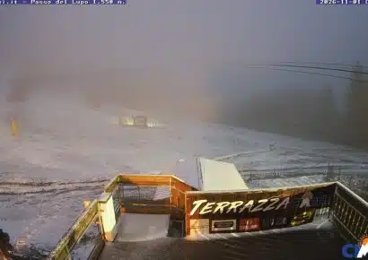
Let’s wait for the new snowfall with one eye on the snow report and the other on the webcams


No comments yet