









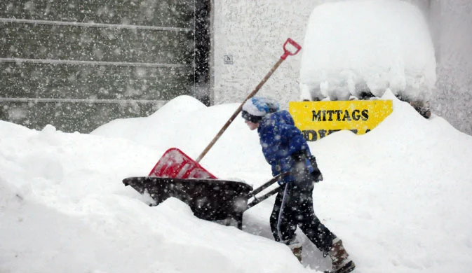
 After weeks of sunshine and above-average temperatures, snow is about to return to the Alps. The weather system is expected over the weekend, and the first snowfalls will hit the mountains of Aosta Valley on Saturday.
Initially, snowfall will settle at medium-high altitudes above 1,700–1,800 meters, but the snow line will steadily drop as the hours pass, reaching 700–900 meters on Sunday.
Snowfalls will also affect the central sectors and northeastern regions, with a slightly higher snow line compared to the western peaks. While in Aosta Valley, Piedmont, and parts of Lombardy snow will make an appearance even below 1,000 meters, snowfalls in the Dolomites will settle around 1,300 meters, with possible accumulations at 1,000 meters as well.
Expected accumulations could reach 50 cm of snow in some resorts located above 1,500 meters, while above 2,000 meters heavier snowfalls will be recorded, with totals approaching a meter of fresh snow.
The snow should taper off on Monday, but further snow events are forecast for next week.
Snowfalls and temperature drop
The return of snow to the Alps will be accompanied by a significant drop in temperatures, with readings forecast to fall by as much as 10 degrees. Not only the weekend, but also part of next week will see snow return to both the Alps and the Apennines.
These snowfalls are eagerly awaited by the ski areas that have postponed their lift closures to allow for an Easter on the snow; the drop in temperatures combined with the return of the white stuff will certainly help extend this unusual winter season.
Where the most Snow is expected
- Presena Glacier: 75 cm
- Marmolada: 65 cm
- Ski Center Latemar: 60 cm
- Passo del Brocon: 45 cm
- Alpe Devero: 40 cm
- Plan de Corones: 40 cm
- Bormio 3000: 40 cm
- Madesimo: 40 cm
- Panarotta: 35 cm
- San Martino di Castrozza: 30 cm
For live updates on snow conditions, visit the pages:
» Snow Forecasts
» Snow Report
» List of resorts with the most snow
» Snow Webcams
Other links:
» Record snow photos winter 2014



No comments yet