









2012 is starting in the best possible way, with new snowfalls on the way! We have already written a great deal about the little snow that has fallen so far: only the Aosta Valley is enjoying a real winter, while the Dolomites and many other mountain areas are keeping the season going only thanks to their snowmaking systems.
It seems, however, that “the year of the Mayan prophecy” is about to bring the long-awaited snow. The forecasts speak of weather fronts arriving as early as the first hours of January 2, 2012, with snowfall across the entire Alpine arc above 1,000 m. At 1,000 m the snow could alternate with sleet and rain, but from 1,200/1,300 m it should fall heavily throughout the day. The snowfall will intensify towards the afternoon, when a full-blown snowstorm is expected at the high-altitude ski resorts.

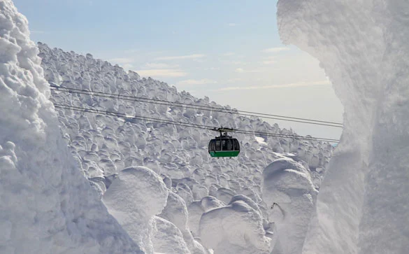
We want a 2012 like this! WHAT ABOUT YOU?
The expected accumulations range from 20-30 cm on the valley floors to 50 cm on the high-altitude slopes. A serious snowfall that could put an end to a non-winter which, until now, has forced skiers and snowboarders to ski on artificial snow.
For the first time in a long while, it will be the central and eastern Alps that get the most snow, while the Aosta Valley will have to make do (so to speak) with just 10 cm. The heaviest snowfall should affect Lombardy, Trentino (South Tyrol a little less), Veneto and Friuli (which until now has had to put up with an unusual winter without snow).
A snowy January 2012? It certainly looks that way!
Even more interesting are the forecasts for the following days: for Thursday/Friday, new snowfalls are expected on the Alps, with substantial amounts! Another 10/15 cm should fall, even at altitudes below 1,000 m.
It really looks as if 2012 could put a smile on the faces of skiers and snowboarders! Happy snowy 2012!
Recommended links to keep an eye on the snow situation: Snow Weather and Webcams – Snow Report



No comments yet