









We are right in the heart of winter and two full months have already passed since the start of our favorite season, yet all eyes are still turned toward the sky waiting for snow. It has been a complicated 2015/16 winter, with natural snow still largely absent and ski resorts working tirelessly to keep their lifts open.
Even over the past few days, the Alpine arc has suffered from above-average temperatures, but the weather pattern is set to shift over the coming hours and starting February 3–4 snow will make its return to the ski resorts.
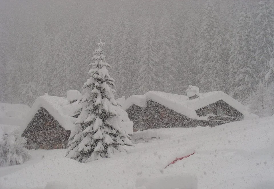
Valle d’Aosta has already had a taste of what is in store with heavy snowfalls: over the weekend of January 30/31, a storm swept across the entire region, dumping a full Half Meter of Snow in Cervinia.
Below are photos of the snowfall sent to us directly by the team at YouSnow.
-

- Snow Cervinia January 30, 2016

-
- Snow Cervinia January 30, 2016

-
- Snow Cervinia January 30, 2016

-
- Snow Cervinia January 30, 2016

-
- Snow Cervinia January 30, 2016

-
- Snow Cervinia January 30, 2016

-
- Snow Cervinia January 30, 2016

Starting February 3, the Alps will be hit by another storm system that this time will also reach the northeastern mountains, bringing snow to all Alpine ski resorts.
Scattered light snowfalls are forecast for Wednesday, followed by the main storm system over the weekend bringing snow above 700 meters in the northwest and above 1,200 meters in the northeast.
Heavy snowfalls are forecast especially across the Central Alps and (at long last) in the Dolomites, where accumulations above 2,000 meters could approach one meter.
The storm will not clear the Alps before Monday, and if the forecasts are confirmed, after this first weekend of February our beloved Alpine arc will finally be dressed in white. Mid-altitude resorts can expect between 20 and 50 cm of snow; if confirmed, this could be the first true widespread snowstorm of the 2015/16 winter.
All we can do now is wait and hope that this time is the charm.
Recommended page: snow weather forecast



No comments yet