









The warm, sunny spring days we have enjoyed over the past few weeks are leaving us, making way for a series of weather fronts that will shape much of April.
The new month began under sunny skies across almost all of Italy, but it won’t stay that way for long. The first rain will arrive as early as the night between Monday, April 2 and Tuesday, April 3. The drop in temperatures has already been felt, bringing them back almost to seasonal averages, and a further fall in temperatures is expected over the coming days, which will bring snowfall to the mountains.
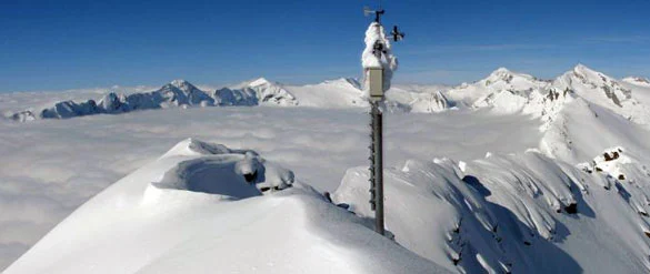
Snow will make a comeback, but only at medium-high altitudes. In the early hours of Tuesday snow will fall as low as 1,500/1,600 m, but then the snow line will rise towards 2,000 m. Nothing new for the lower-lying resorts, but good news for the ski areas that can count on high-altitude slopes, such as Livigno, Bormio, Cervinia, Adamello and others.

Pretty much everyone has been waiting for this weather front, given the drought affecting many parts of Italy, but there are places that, even though they are not suffering from drought, will certainly not turn their noses up at the return of the white stuff. These are the glaciers, which are getting ready to welcome abundant snowfall, the kind that failed to show up in winter but is at the same time essential to ensure their survival through the summer.
Snow forecast for Easter:
The Easter holidays will bring changeable weather, with fresh snow in the high mountains following the snowfall of the coming days.



No comments yet