










The weather pattern is evolving, and over the coming days we can expect intense cold and snowfall all the way down to the plains. Winter, which has already made its return felt across the north in recent days, is set to receive a fresh boost from a polar front sweeping down toward Italy over the weekend of February 9-10.
Before the snow reaches the Po Valley, however, it will make an appearance in the South thanks to the tail end of the polar air mass that brought freezing cold back to our peninsula in recent days.
On Friday, snow will appear on the mountains of Central and Southern Italy, with the snow line potentially dropping to hilly elevations on Saturday.
Then on Sunday, freezing air will reach the Alps, bringing a sharp drop in temperatures accompanied by widespread snowfall affecting the northwestern mountains first before spreading across the entire north overnight.
Snow is also expected to reach the plains, bringing significant accumulations especially in Piedmont and Lombardy (15 to 20 cm of snow forecast), while across the northeastern plains snowflakes will turn to rain by late Monday morning.
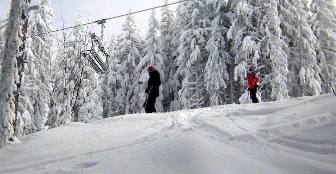
While lowland municipalities prepare for a potential snow alert, in the mountains tourism operators are welcoming forecasts that experts say could bring up to half a meter of snow to the Alps above 1,500 m above sea level.
Tuesday, February 12—Shrove Tuesday (the final day of Carnival)—will see snowfall tapering off in the Alps along with a further drop in temperatures.
Carnival 2013 will be a celebration of snow and freezing cold—a dream come true for all snow lovers!
Recommended links:
> ski resorts
> snow report
> live webcams from the ski slopes
> record snowfall photos



No comments yet