









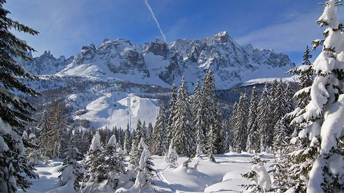

Over the past few days, temperatures have dropped sharply across Italy, plunging the country into full autumn weather. Rain and cold have dominated the days, but conspicuously absent has been snow, which—at least at higher altitudes—usually makes its first appearance right at the end of September.
The wait now seems to be over, however, thanks to a descending Arctic front that will bring snow to the Alps above 1,000 meters, with substantial accumulations above 1,300–1,500 meters. The cold air will reach Italy on Thursday, October 10, causing a sharp drop in temperatures and turning rain into snow across most Alpine resorts.
This will be the first major snowstorm of autumn 2013, which until now has left little room for snow; furthermore, this Arctic blast will not only blanket the peaks of all Alpine regions, but will also contribute significantly to the first snow accumulations on European glaciers.
At high altitude, above 2,200–2,500 meters, heavy snowfalls are expected especially during the second half of Thursday, when up to 50 cm of snow could fall on the mountains of Lombardy and Trentino Alto Adige, bringing abundant snow to Livigno, Bormio, Plan de Corones, Solda…
A taste of winter
The weekend snowfalls will open the door to an early taste of winter: temperatures will drop further and could pave the way for additional weather systems arriving mid-next week. Great news for high-altitude ski areas waiting for the first snowfalls to kick off the ski season.
Useful links
» Snow forecasts (where it will snow the most in the coming days)
» Snow webcams



No comments yet