









During this scorching summer, even the month of August offered no respite, bringing high temperatures that put Alpine glaciers to a severe test.
One of the hottest summers on record is finally drawing to a close; over recent summer months, high temperatures frequently pushed the freezing level above 4,600 meters, peaking at over 5,000 meters on several particularly blistering days.
Glaciers have undoubtedly been the main victims of the summer, and the season now ending has caused glacier retreat that is likely irreversible. Hardest hit of all has been the northeastern side of the Alps—led by Veneto and Trentino—where scarce winter snowfalls had already foreshadowed a difficult summer.
The Marmolada was left in unprecedented condition, with crevasses exposing decades-old litter, while on the Adamello melting ice uncovered further World War I artifacts that had lain buried for years in the perennial snows.
Even more immediate were the practical consequences on the Stelvio Glacier, where scorching heat forced the closure of the ski lifts and a halt to summer skiing.
First late-summer snowfalls on the way
Meteorologists now agree that this late-August weekend will be dominated not by scorching heat, but by Snow!
You read that right—Snow!
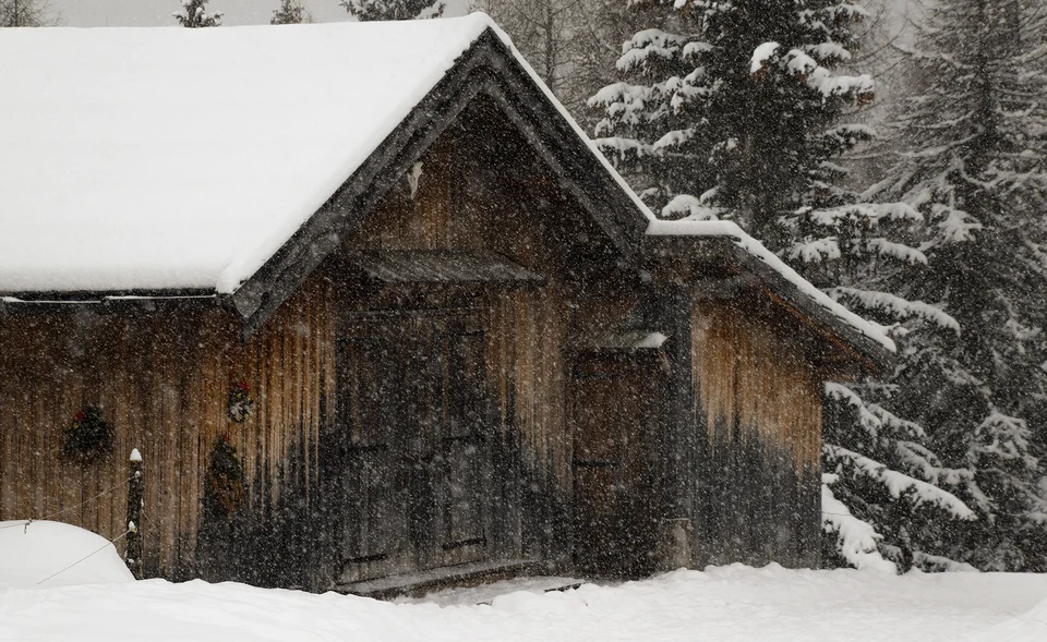
The white stuff will make its appearance starting on Friday, when a storm system arriving from the northwest reaches the Alps and blankets the highest peaks. The landscape is set to change dramatically and in a matter of hours, shifting from hot summer conditions to an early taste of autumn—or rather, early winter.
In fact, while snow flurries are nothing unusual on peaks near 3,000 meters, they certainly are noteworthy on slopes at 2,000 meters above sea level.

Sunday 3, 3bMeteo Forecast
Snow above 1,800 meters: here is where it could snow
As mentioned, Friday will kick things off and bring snow back to the mountains—first at the highest elevations of the Central Alps, before the storm spreads toward the Northeastern Alps.
Snowfalls are expected across much of the Alps between 2,500 and 3,000 meters, with snow also forecast down to 1,800–2,000 meters and flakes possible in border areas (particularly in Alto Adige).
Snow is forecast at Passo dello Stelvio and on the Marmolada, as well as at lower elevations such as Alpe di Siusi, where green meadows could be dusted with a picturesque white veil of snow.
While this will certainly be a passing storm notable more for the sudden change of scenery than for lasting accumulations, it will still be a welcome relief for the glaciers, pausing their slow retreat for at least a few days.
weather source: 3bmeteo



No comments yet