









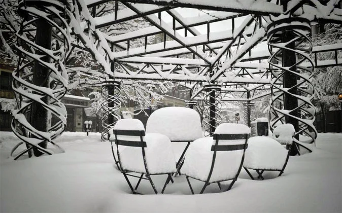
 Forecasters have already christened it the Siberian Bear: the new front of freezing air that over the coming days will bring snow back to northern Italy all the way down to the plains.
After the Carnival snowfalls, winter seems determined to make one final mark before giving way to spring.
On Wednesday, February 20, the first clouds will cross the Alps of Friuli Venezia Giulia, bringing an early taste of the weather system that will sweep across the north starting early Thursday morning, February 21, with widespread snowfall down to the plains and snow in cities such as Udine, Padua, Verona, Trento, Milan, Bologna, and Turin.
Snowfall will continue non-stop throughout Thursday and Friday across most of the Po Valley, while between Saturday and Sunday temperatures will begin to rise, pushing snow back up into the mountains and turning precipitation to rain in the cities.
Over the weekend, heavy snow will continue to fall in the Alps above 500-600 meters until Monday, February 25, when sunshine will return to light up the white ski slopes. Heavy precipitation is expected especially above 1,000 meters, where rain will not spoil the party.
This late-February snowfall will be an important one because it will very likely be the last to reach such low elevations (even bringing snow to the plains)—a godsend that will allow all low-altitude resorts to bolster their already solid snow reserves and continue the ski season smoothly through the end of March.
Weather forecasts are evolving; to follow the situation live, visit the snow weather page or the snow report



No comments yet