









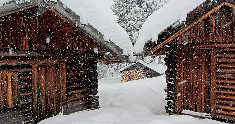
A tough start to the season has certainly brought back unpleasant memories of early winter 2014/15, when a lack of snowfall and above-average temperatures delayed the start of the winter ski season until late December.
Ski resorts have been experiencing a difficult November not only in the valleys but even at high altitude, with several glaciers forced to postpone their openings—proof that not even an elevation of 3,000 meters can guarantee an effortless start to the season.
Now, however, this trend is set to reverse thanks to an influx of Arctic air from northern Europe that will bring freezing temperatures and snow back to the Alpine arc and much of the Apennine chain.
The drop in temperatures will be accompanied by a storm system reaching the Alps on the evening of Friday, November 20, bringing snow back to Alpine resorts—first at mid-altitudes (1,500 m) and then dropping toward 1,000 meters. Progressively colder air will push the snow line down to low elevations, especially in northeastern Italy, before spreading to the Apennines, where snow could fall down to 800 meters in the mountains of Emilia-Romagna.
The storm will affect ski resorts mainly on Saturday and Sunday, with unsettled weather potentially lingering into Monday in some areas.
How much snow will fall?
The storm system about to hit the Alps and Apennines will not break any records in terms of total snow accumulations in the Alps.
Snowfalls will actually be heavier in the Apennines than in the Alps, where accumulations of 30 cm will be reached only in high-altitude resorts such as Cervinia and Livigno, while most other Alpine resorts can expect between 10 and 20 cm of snow.
Along the Apennine ridge, meanwhile, heavier snowfalls are expected from Emilia down to Abruzzo, with up to 40 cm of fresh snow possible at the highest elevations.
Freezing temperatures and ski lift openings
Several initial lift openings had been penciled in for this coming weekend, though some ski areas will clearly have to revise their schedules and push back the start of their season.
Even where natural snowfall alone is not enough to open the lifts right away, the sharp drop in temperatures will allow resorts to fire up their artificial snowmaking systems and resume covering the slopes—work that had been on hold due to unseasonably warm weather.
Many ski resorts boast 100% snowmaking coverage backed by modern snow guns and large water reservoirs; with cold temperatures in place, even 10–20 centimeters of natural snow combined with snowmaking could allow numerous resorts to kick off their season by the end of November.
While we wait for the white stuff to arrive, here are our usual links to the live webcams and snow forecast pages:
Live snow webcams from the slopes
Snow forecast and snow report



No comments yet