









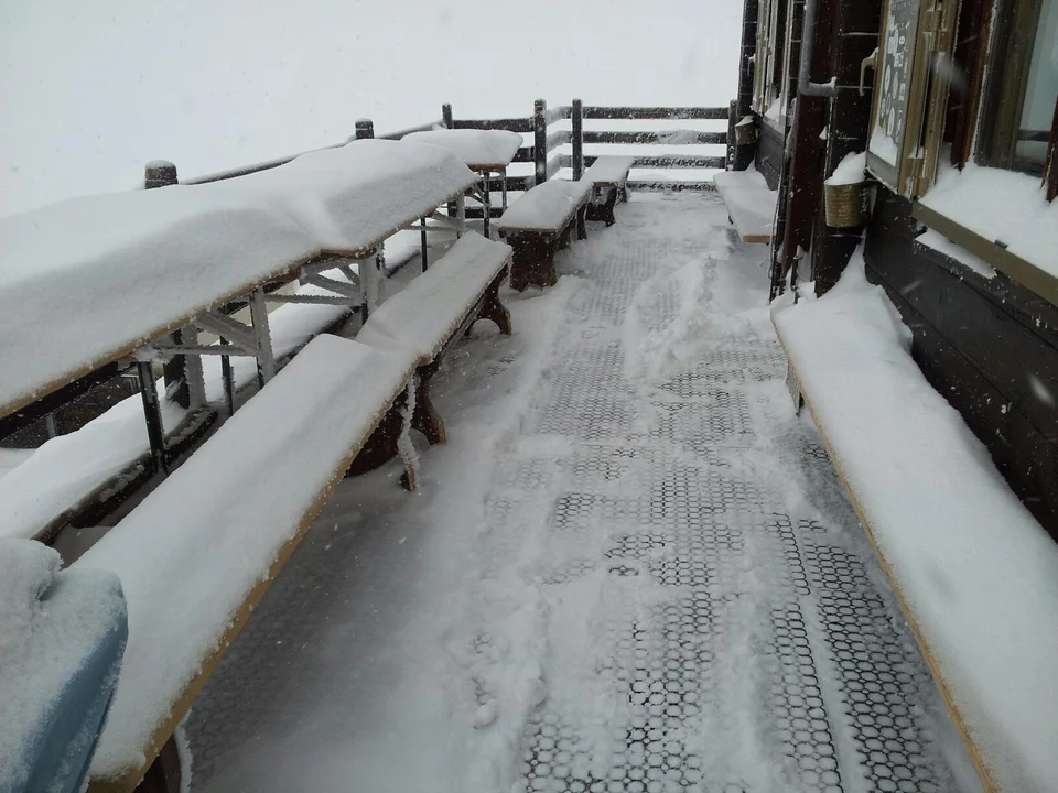
Snow is back in the spotlight in the mountains: a weather front has whitened the Alps from east to west, but the snowfall level was higher than forecast. Last week the experts had predicted snowfall above 1,400 m across the entire Alpine arc, but in reality the snow only fell above 1,800/2,000 metres, with a few local exceptions (led by the north-west).

Snowfall ranged from 15 cm at the lowest altitudes to over half a metre above 2,500 m.
However, many resorts got rain instead, which further sped up the already rapid melting of the snow on the ski slopes. In Cortina snow only appeared on the high-altitude slopes, while on the Paganella plateau skiers went from the snowstorm at Cima Paganella (2,000 m) to the downpours on the slopes of Fai and Andalo.

Cima Paganella in the middle of a snowstorm
No luck for anyone hoping for a last-gasp comeback from winter that could stretch the ski season by a few weeks: rain up to 2,000 m and the high temperatures forecast for the coming days as well will force many ski areas to confirm (or even bring forward) the closing date of their lifts. Some ski areas have already shut up shop, among them the Asiago plateau, which, because of the shortage of snow, found itself closing the season early (something that had not happened for several years).

The Matterhorn has stocked up on snow
Skiing doesn’t stop, though. The high-altitude ski areas are entering the heart of their season, and winter can carry on on the slopes at higher altitudes.
Recommended links: snow webcams – snow report



No comments yet