









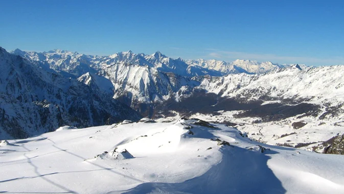
 The Arctic weather system did its job over the past few hours, blanketing the entire Alpine arc in white from Aosta Valley to Friuli Venezia Giulia.
This morning the sun was shining on the snow-covered slopes of the Alpine resorts—a snowfall that has brought winter back, at least in terms of scenery.
Compared to forecasts, however, this snowfall leaves a somewhat bittersweet taste, with light precipitation even in the high mountains where fresh snow did not exceed 30 cm, and only a few centimeters in the valleys, topping 15 cm of snow only in the best cases.
The snow line remained almost always above 1,000 m, except for some sleet at 700 m in the central Alps.
Snow returns, a week of snowfall awaits us
There has barely been time to enjoy the freshly snow-covered landscapes before another weather system is set to arrive over Italy, bringing more snowfall next week.
Starting Monday, snow will once again blanket the Alps and will stay until Friday. The first flurries will be recorded along the border areas, then move toward Aosta Valley and Piedmont, and in the following days also affect Lombardy, Trentino AA, Veneto, and Friuli.
On Monday, snow is forecast at medium-high altitudes, but starting Tuesday, as the weather system spreads, the snow line will drop down to 1,200 meters on Thursday.
Once again, ski resorts at medium-high altitudes will be the ones to benefit from this additional snowfall.
The forecasts are encouraging and it looks like winter has arrived, albeit slowly; the ski season could truly take off at the end of November, keeping to the lift opening dates of many ski areas.
Recommended links: Snow Webcams – Snow Forecast and Report





No comments yet