









This time the snow kept its “word”!
The long-awaited and much-invoked snowfall has arrived, meeting, some more and some less, the expectations of skiers and ski resorts.
As forecast, the snowfall was not uniform, bringing different accumulations depending on the area.
The weather forecasts were more or less borne out: the snowfall hit Piedmont hardest, confirming the 50 cm forecast for Piedmont, with heavy snowfall recorded at Prato Nevoso and Limone Piemonte, effectively bringing snow levels back to those of 3 weeks ago.

Prato Nevoso
Less intense but still significant was the snowfall over the central and eastern parts of the Alps.
The average snowfall in the Dolomites was around 20 cm, but at the highest altitudes (above 2,300 metres) the snowfall brought accumulations of more than 50 cm, generously replenishing the ski slopes.
50 cm were reported on the Presena Glacier and 40 cm of snow on the Grostè slopes at Madonna di Campiglio.
As forecast by Arpav, the snowfall was heavier over the Pre-Alps where, despite the lower altitude, between 20 and 40 cm of fresh snow fell.

San Martino di Castrozza
The situation was a little more difficult near the border, where the weather system had less impact and the snow line was slightly higher. 20 cm of snow at Plan de Corones (at 1,800 m), while at Pramollo rain was recorded at 900 metres, unlike Asiago, where 5 cm of snow fell at the same altitude.
The sun is already back and the first lucky skiers are already enjoying their first runs on the fresh snow. Packed slopes are expected at all ski resorts on Sunday, February 20, but watch out, it’s not over yet!
In fact, snowfall is expected in Trentino Alto Adige on Sunday night!
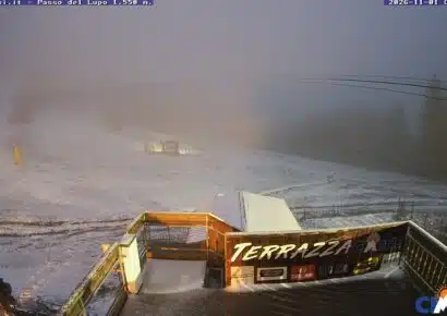
For more information you can check the webcams or the snow report!
Happy powder, everyone!


No comments yet