









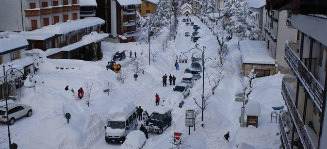

Snow is about to return to the Alps, and this time it will also visit lower elevations, bringing substantial snow from 2,000 m and light overnight snowfalls down to 1,600 m along the northeastern border areas (Val Pusteria and the Tarvisio area).
The weather system arriving from northern Europe will cross the Alps on Wednesday (tomorrow), bringing snow across all mountains above 2,000 m, from Cervinia (northwest) to Sella Nevea (northeast) by way of Livigno (north-central).
The heaviest snowfalls will be recorded along the border ranges, led by Alto Adige. Snow is forecast at Plan de Corones, in Alta Badia, and in Val Gardena, though only on the higher peaks. And as often happens, the Tarvisio area will see snow starting from as low as 1,400–1,600 m thanks to cold air currents flowing in from the east.
On Thursday, the clouds will clear the Alps, bringing back the sun, though temperatures will remain below average with widespread frost starting from 1,500 m across the entire Alps.
This will be the second snowfall of September following that of August 31 / September 1, which brought snow down to 2,500 m and around 40 cm of snow at 3,000 m in Trentino Alto Adige.
A welcome gift above all for the glaciers that have resumed summer skiing after a scorching summer.



No comments yet