









 More Snow above 2,000 m, then freezing cold and more Snow: a November marked by bad weather?
Autumn weather systems continue to sweep across the Italian mountains; the weather forecast points to the arrival of a new front for Sunday, November 3 that will bring more snow above 2,000/2,200 meters in the Alps.
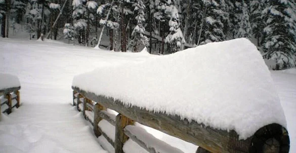
This is the first weather system of the month of November, if we exclude the last snowfall that reached the Alps in the final days of October and ended on November 1. Snowfall at high altitude thus continues, with accumulations now becoming significant (exceeding one meter of snow at 3,000 m), enough to allow several slopes to open.
Kicking off the season over the All Saints’ Day long weekend were several Italian and foreign resorts, especially ski destinations boasting slopes above 3,000 m, but with the latest snowfalls the opening of new ski slopes and new resorts even at lower altitudes starting next week cannot be ruled out.
Freezing cold on the way in the mountains, followed by more storms
Next week, cold air is forecast to arrive from the north, bringing overnight temperatures below freezing above 1,000–1,200 m. Despite the drop in temperatures, next week will also experience unsettled weather with new air flows coming from the north. Initial projections suggest that snow will return mid-week, though it is still too early to know at what altitude, where, and how much.
Long-range forecasts point to a changeable November with the second half of the month marked by true FREEZING COLD, though for now these remain just forecasts…



No comments yet